
St Mary’s Terrace
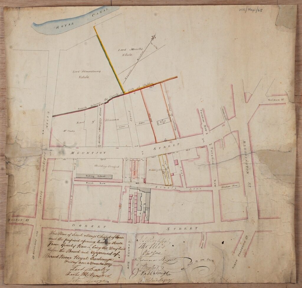
This street, running off St Mary’s Place, Dorset Street, was originally called Walsh’s Row.
The street appears on a Wide Streets Commission map of 1827, and first appears in the street directory for 1833.1
The houses on the street were certainly occupied by 1837.2
In 1884 the Paving and Lighting Committee of the Corporation was asked to change the name of the street by a Mr P Macken, North King Street.3 The Committee reported that:
[T]his lane had been occupied for years by persons of the worst character, and that applicant had recently purchased the houses, and had rebuilt them, and was sole owner of the entire range, and now asked the Committee to allow him, by changing the name, to effectually remove from his property every recollection of the evil reputation hitherto associated with it.
The councillors accepted the argument, and agreed to change the name to St Mary’s Terrace. The name comes from the nearby St Mary’s Chapel of Ease, the ‘Black Church’, from which St Mary’s Place also gets its name.
One Comment